In Geography and Environmental Science at Southampton, we are committed to creating and sharing new knowledge to make a positive difference to people and the planet. We combine our interdisciplinary approaches with social, economic and environmental expertise to tackle many of the world’s most complex challenges, including climate change, global health, inequalities, sustainable economic and environmental development and conservation of biodiversity.
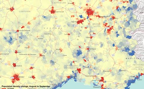
Our research is excellent, innovative and inclusive, with 75% of our impact case studies ranked 4* (world-leading) in the REF2021. It is making a difference in many ways, including: improving public health and development in low and middle income countries via enhanced mapping of populations; producing better boundaries for the collection and publication of official statistics; enhancing monitoring of global vegetation from space for more targeted management of crops and forests; using mobile phone data to inform infectious disease control and disaster relief worldwide; improving passenger safety and management of risk in the air, road, rail and sea sectors; driving forward international policy on home working; and providing affordable open-source acoustic devices for monitoring biodiversity or anthropogenic disturbance in remote areas.
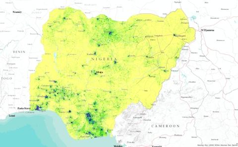
Our WorldPop group is dedicated to supporting international development, disaster relief and global health through the development of methods for the construction of open and high-resolution geospatial data on population distributions, demographics and dynamics, with a focus on low and middle income countries. Our GeoData Institute specialises in the use of geospatial data, information management and analysis to address challenges to a sustainable environment and society, including agriculture, livelihoods, conservation and climate change.
We believe strongly in the co-production of knowledge and in providing opportunities for the public to engage with and jointly shape our research (for example, see our award-winning Mouse Exchange project, which explores the origins of laboratory mice through crafting and conversations; or our Southampton Platform for Inclusive Research and Ideas Together (SPIRIT) platform, which brings together members of the public, advocacy groups and academics to make a genuine difference to the lives of people with learning disabilities). In recognition of their outstanding contributions to national or international public policy, two of our staff - Professor Andrew Tatem and Professor David Martin - have received the prestigious Royal Geographical Society’s Back Award.
We are proud to have developed long-term sustainable partnerships over successive projects with government, industry, charities and the public at the local, national and global level. We always welcome the opportunity to work with new collaborators and would encourage you to get in contact if you think we could work with you.